AAWT - Section 2. Mt Hotham to Thredbo
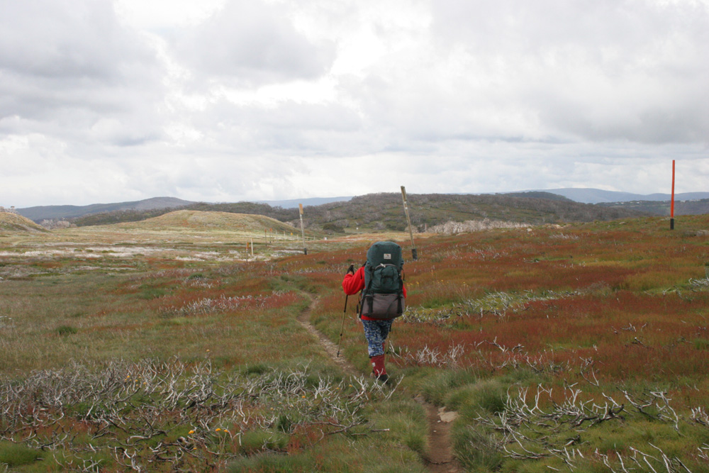
Ski poles lead 54 km from Mt Loch carpark (Pole 1) to Mt Bogong (Pole 1285)
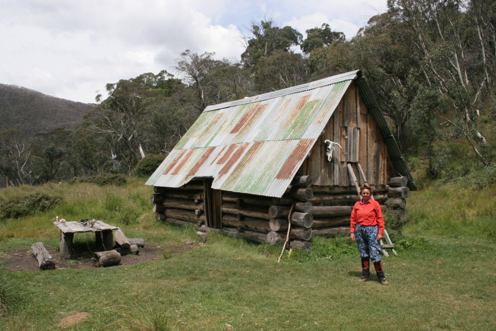
There's a great campsite beside Dibbins Hut but it's usually too early in the day to stop for the night.
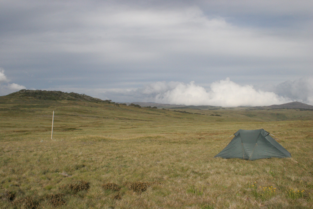
Beautiful grassy campsite beside Mt Jim.
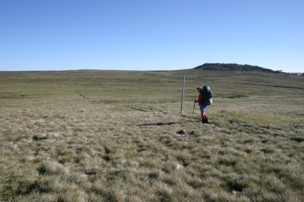
Beautiful easy walking across the High Plains
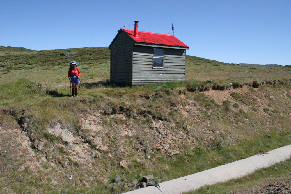
The tiny SEC hut in Cope Saddle is a good spot to get your bearings
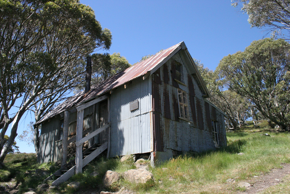
Cope Hut is a popular overnight destination but you'll struggle to find room to pitch your tent
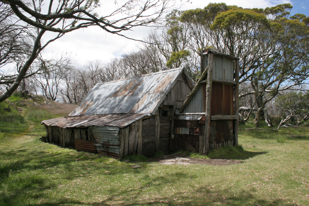
Wallaces Hut is probably the most photographed cattleman's hut in the High Country. Another great camp spot
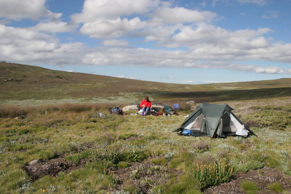
Campsite at The Park - a broad open saddle between Marum Point and Hollands Knob
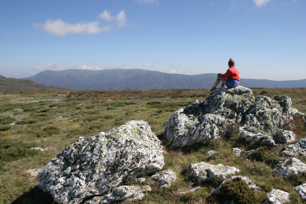
The views make the short detour to Mt Nelse - Victoria's third highest named peak, worthwhile
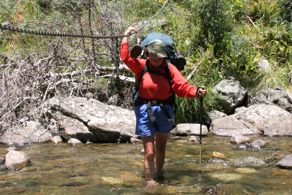
Crossing Big River
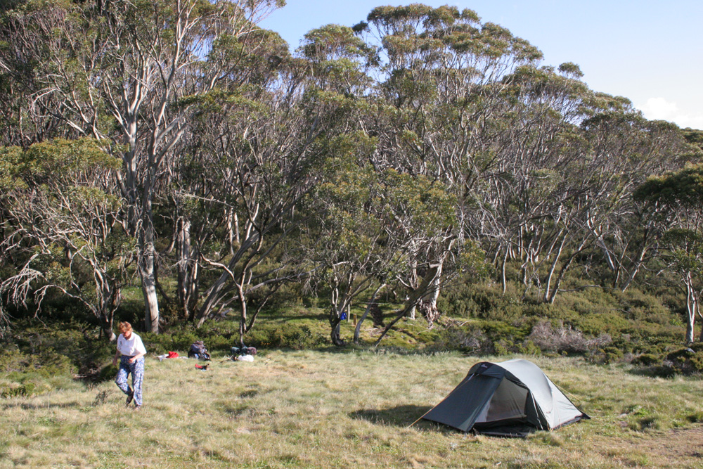
Campsite near Camp Creek. A good spot to spend another day and climb Mt Bogong if the weather is fine.
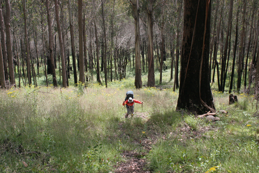
It's a bit of a slog up the ridge to Mt Wills
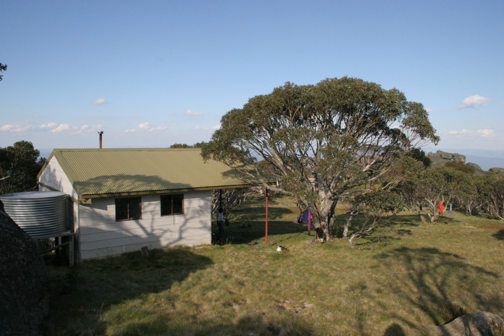
Mt Wills Hut is the best hut on the whole track. A great spot when the weather closes in
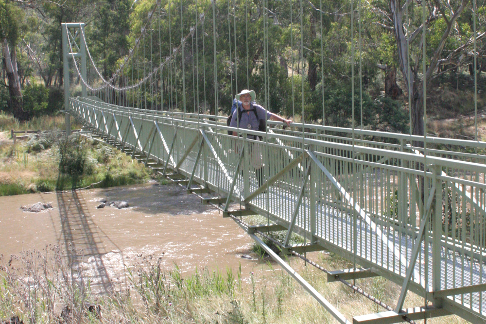
There is a campsite at Taylors crossing but camping here makes tomorrow a long day with 6km to Lower Tableland Track before you start climbing to Johnnies Top
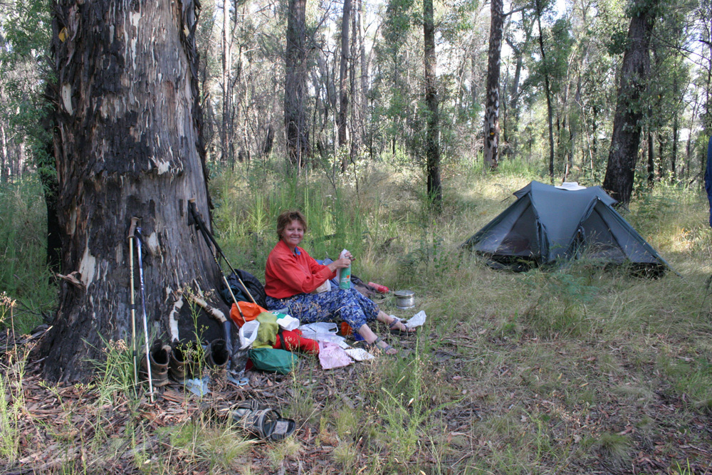
Campsite near Lower Tableland Track
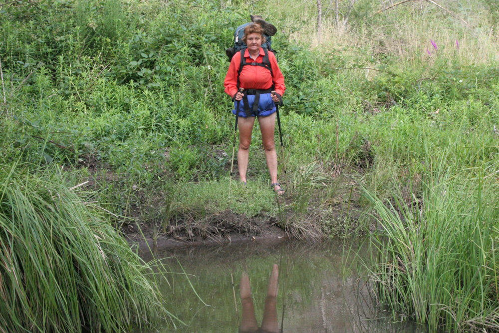
You'll need to wade through Morass Creek. The water here has long been considered polluted, so you'll need to filter it very well if you need to top up
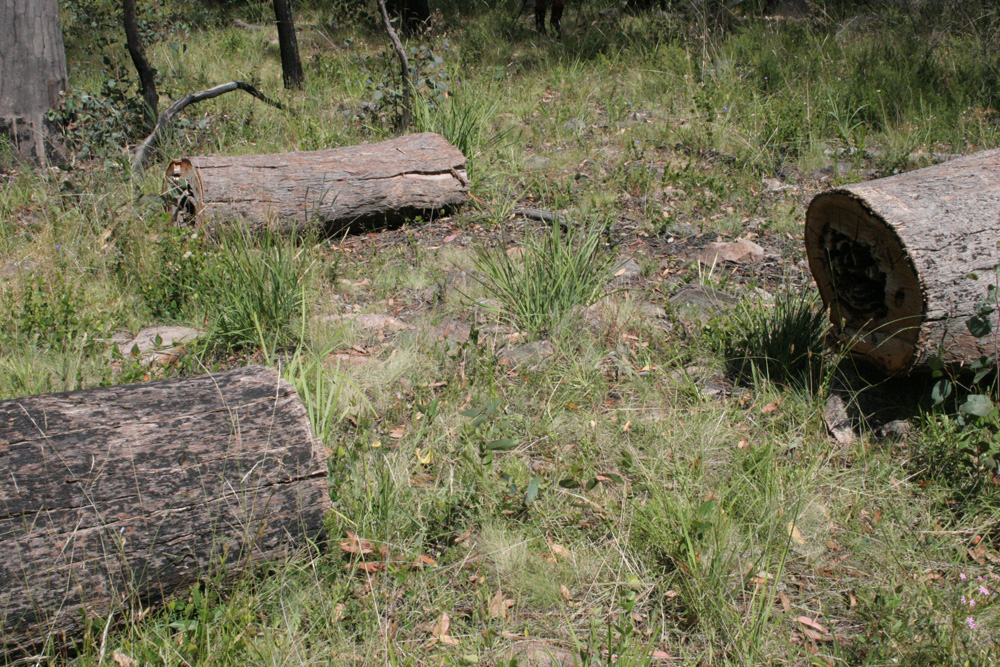
Whenever you loose sight of an obvious route, spotting a cut log is a good indication that the route leads through this point
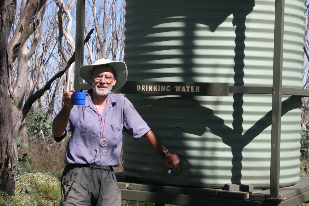
Very welcome water tank on Johnnies Top. You'll need to check with the local rangers to see just what tanks have been replaced following the bushfires
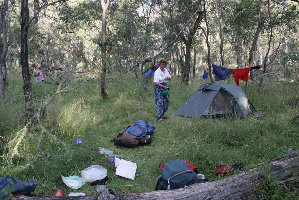
Sometimes you just need to spread out and air the clothes when there is no creek nearby
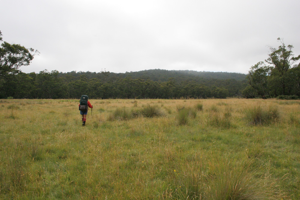
Grassy river flats beside Buenba Creek
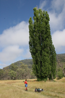
Buenba Hut Site
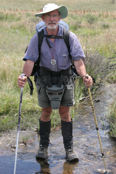
Spanning the infant Murray River
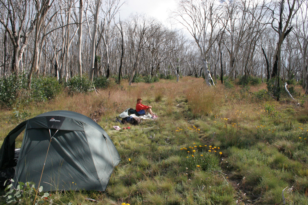
Another makeshift campsite
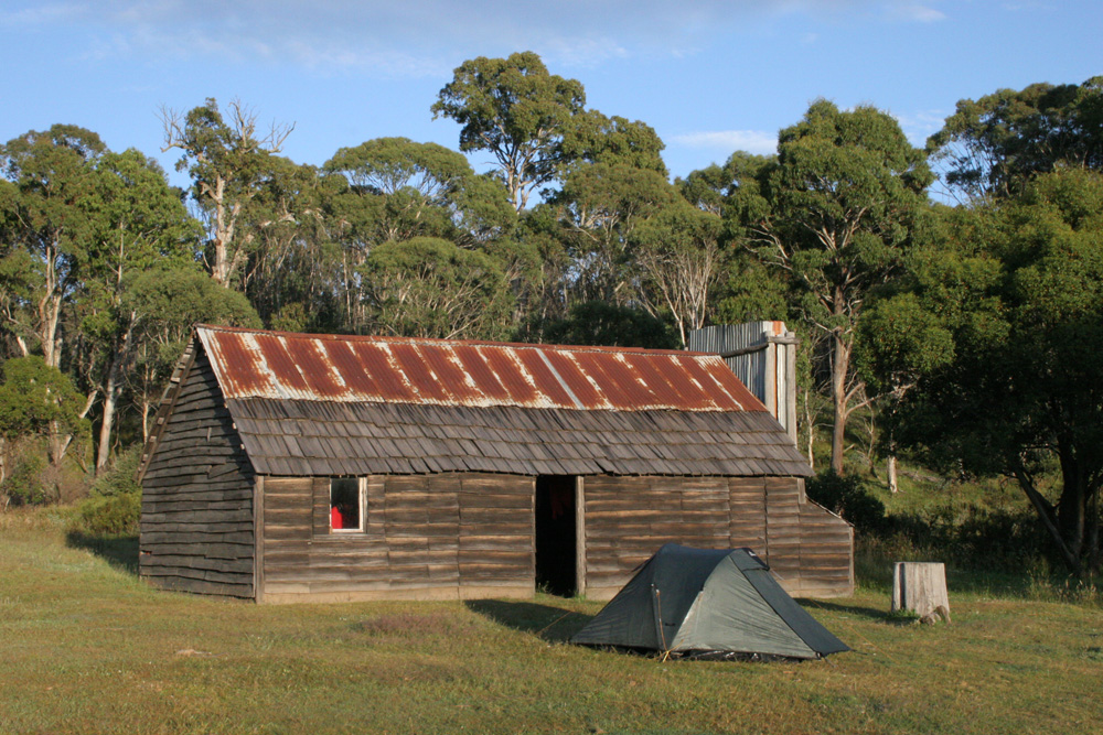
Camping alongside Tin Mine Huts
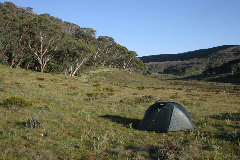
The grassy ridge below Cascade Hut is a great spot to camp
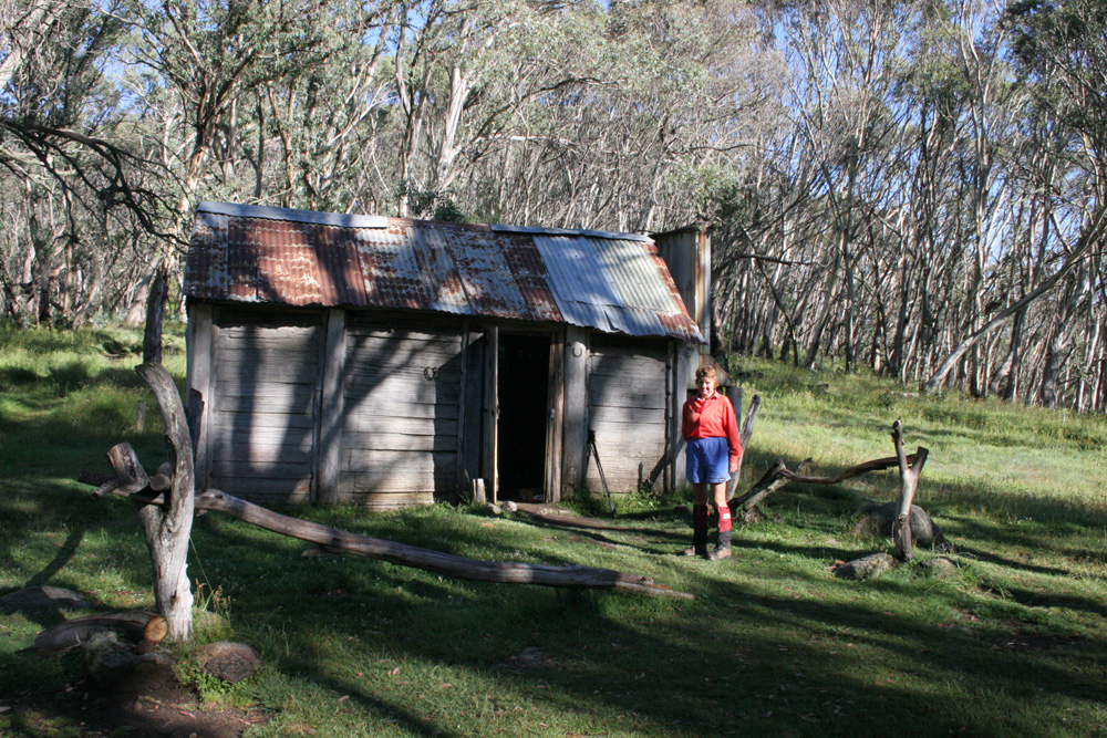
Cascade Hut. It's good to explore the huts but it's much more comfortable camping outside the hut and just using it as an emergency shelter
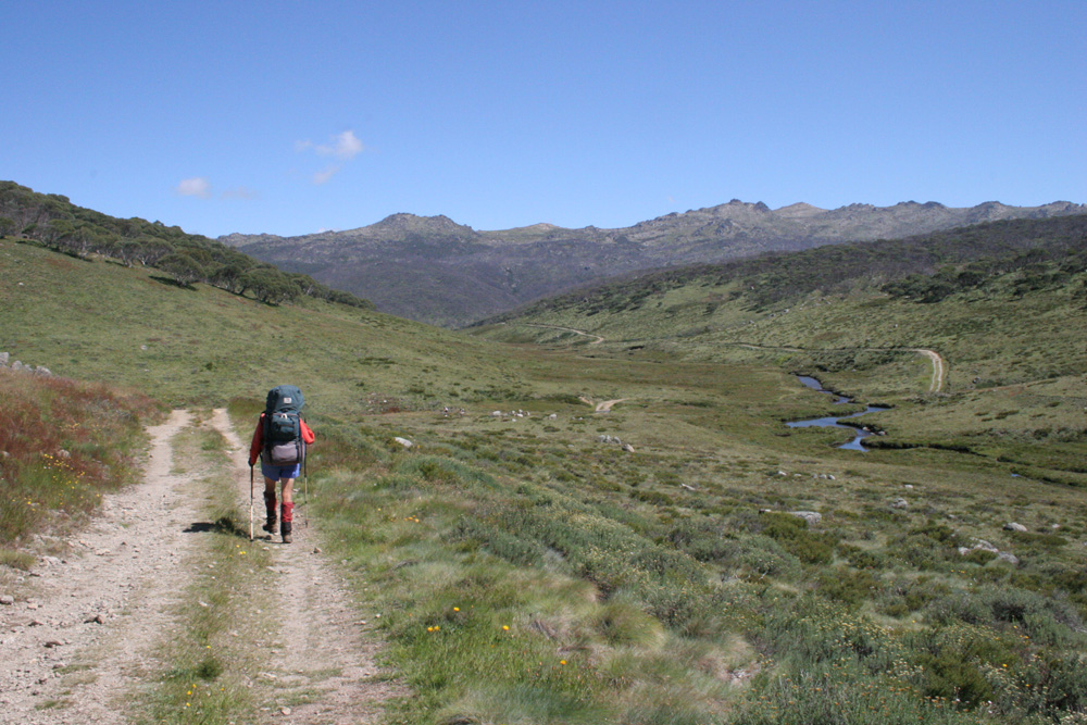
Walking along the Thredbo River Valley on the way to Dead Horse Gap
